Lately, I’ve been trying to build a formal continuum of spatial services based on audience, analytical complexity and sustainability to orient scholars and spatial services providers when assessing prospective projects. Too often, researchers are using ArcGIS for duties better served by Google Earth (or vice verse) and scholars are contracting out the creation of custom geospatial software to provide functionality found in a host of university-licensed or open source or web-available software and services. An exhaustive description of the available spatial resources would not only allow existing projects to better utilize tools suited for their research agendas but would also allow prospective scholars thinking of integrating spatial data into their scholarship the ability to better design research goals.
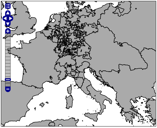
Which brings me to my very dull map of Europe in the early 18th century. It may not look like much but this is my first spatial dataset hosted by a new Geoserver running on a library virtual server (running along with PostGIS on Red Hat Enterprise Linux, which I would not have been able to easily get set up without the support of Digital Library Systems and Services and which has forced me back to a place I thought I’d never be: typing “ls” and “cp” in a command line–I can only hope the systems administration quickly gets subsumed into the same Stanford machine that provides us with databases and wikis and Drupal sites and WordPress blogs without our so much as installing a single *AMP stack). Along with creating resources to support and design spatial scholarship, the other critical goal for a modern research university is to develop the resources necessary to support advanced publication, analysis and collaboration using well-developed standards. While scholars will still have cause to build their own servers and create their own tools, there is much in the way of digital infrastructure that has matured to the point that it can be considered a standard resource and should be expected at any serious institution. Spatial services are one of those standard resources, whether in the form of know-how and management tools that allow projects to be planned and run efficiently, or in the form of enterprise-level assets that give access to spatial data in a wide and expected variety of modern formats.

