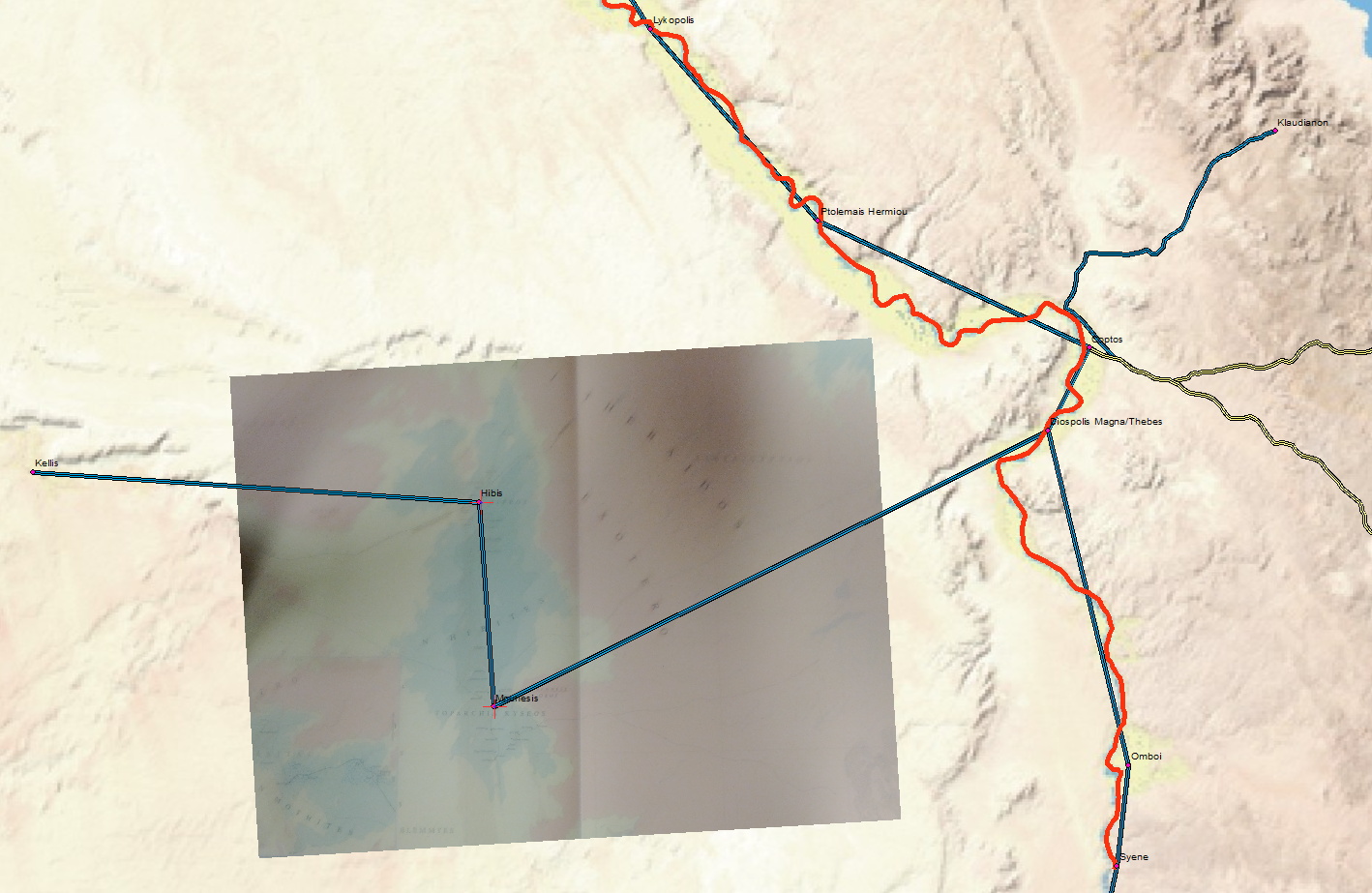
 While attempting to reconstruct the road from Mounesis to Coptos, I found the need to place a Barrington Atlas map into GIS. Naturally, the solution was to take a photograph with it from my phone and email it to myself and georectify it with a couple control points. This is probably not the best solution (the curvature of an open book and the angle of the camera as well as the poor resolution and quality of the image all mean that a high-quality scan will always beat it) but it is remarkably simple, convenient and quick.
Categories
- Algorithmic Literacy
- Amusing Historical Map Features
- Big Data
- D3
- DH2011
- Digital Humanities at Stanford
- Digital Scholarly Work
- Drupal
- Gaming
- Graph Data Model
- HGIS
- Interview
- Multiscale Applications
- Natural Law
- New Aesthetic
- New Literature
- ORBIS
- Pedagogy
- Peer Review
- Reviews
- Social Media Literacy
- Spatial Humanities
- Text Analysis
- The Digital Humanities as…
- Tools
- Uncategorized
- Visualization
Meta
